Angel's Rest Trail: Difficulty, Parking, and Gorge Views
What the climb is like, when conditions become more challenging, and who may be happier on another Gorge trail.
We last checked the official sources on August 26, 2026. This guide is based on agency information and is not a firsthand trail report.
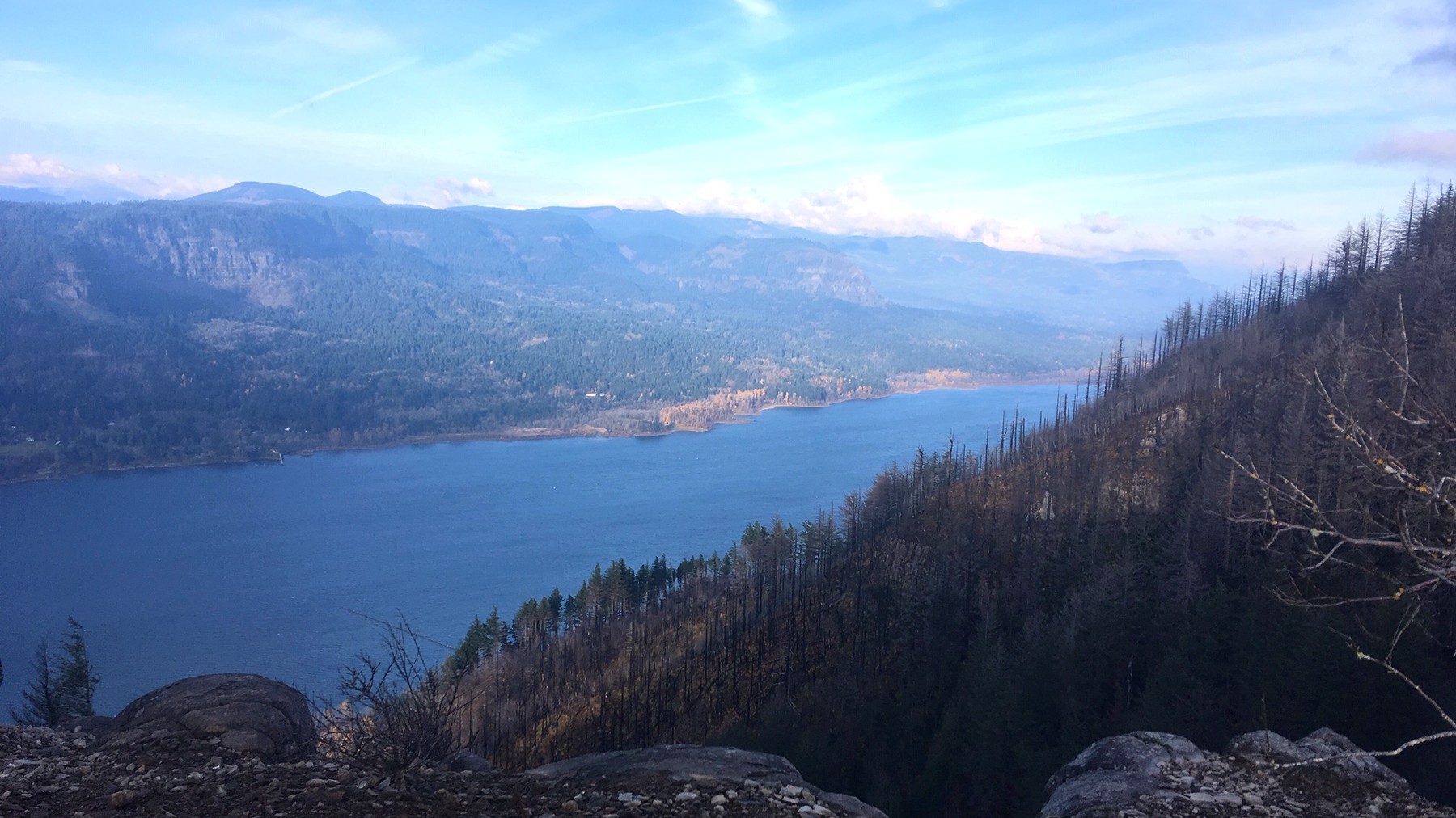
Angel's Rest ends at an open bluff with broad Gorge views and little protection from wind or sun. Photo: USDA Forest Service Pacific Northwest Region – Public domain (U.S. federal government work)
TRAIL UPDATE – Check the Forest Service and Oregon State Parks pages for current trail conditions and parking requirements. Angel's Rest ends at an exposed bluff, so wind, heat, ice, and visibility can change the hike even when the trail is open.
Check before you go: Angel's Rest Trail #415 – Oregon State Parks: Angel's Rest Trailhead – Washington Trails Association: Angel's Rest route estimate
Is Angel's Rest a good fit for your group?
Angel's Rest is often rated moderate, but that label does not tell the whole story. The trail gains roughly 1,500 feet in fewer than five miles, and it ends at an open bluff with steep drop-offs. It is best suited to hikers who are comfortable with a steady climb and willing to turn back when wind or footing becomes a concern.
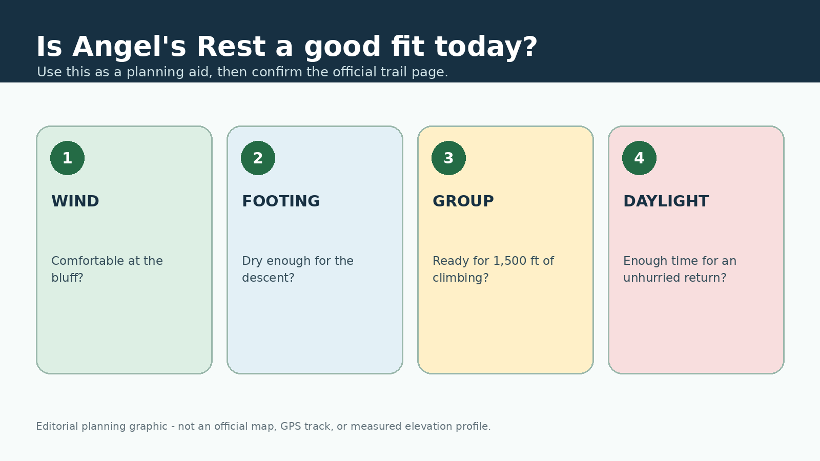
This original editorial graphic is meant only as a planning aid. It is not an official map, GPS track, or measured elevation profile.
How the climb unfolds
The route begins near the Historic Columbia River Highway and climbs through forest. Coopey Falls appears near the lower part of the hike, but it is a feature along the way rather than the main destination. The climb remains steady, and the trail becomes rockier as it gains elevation.
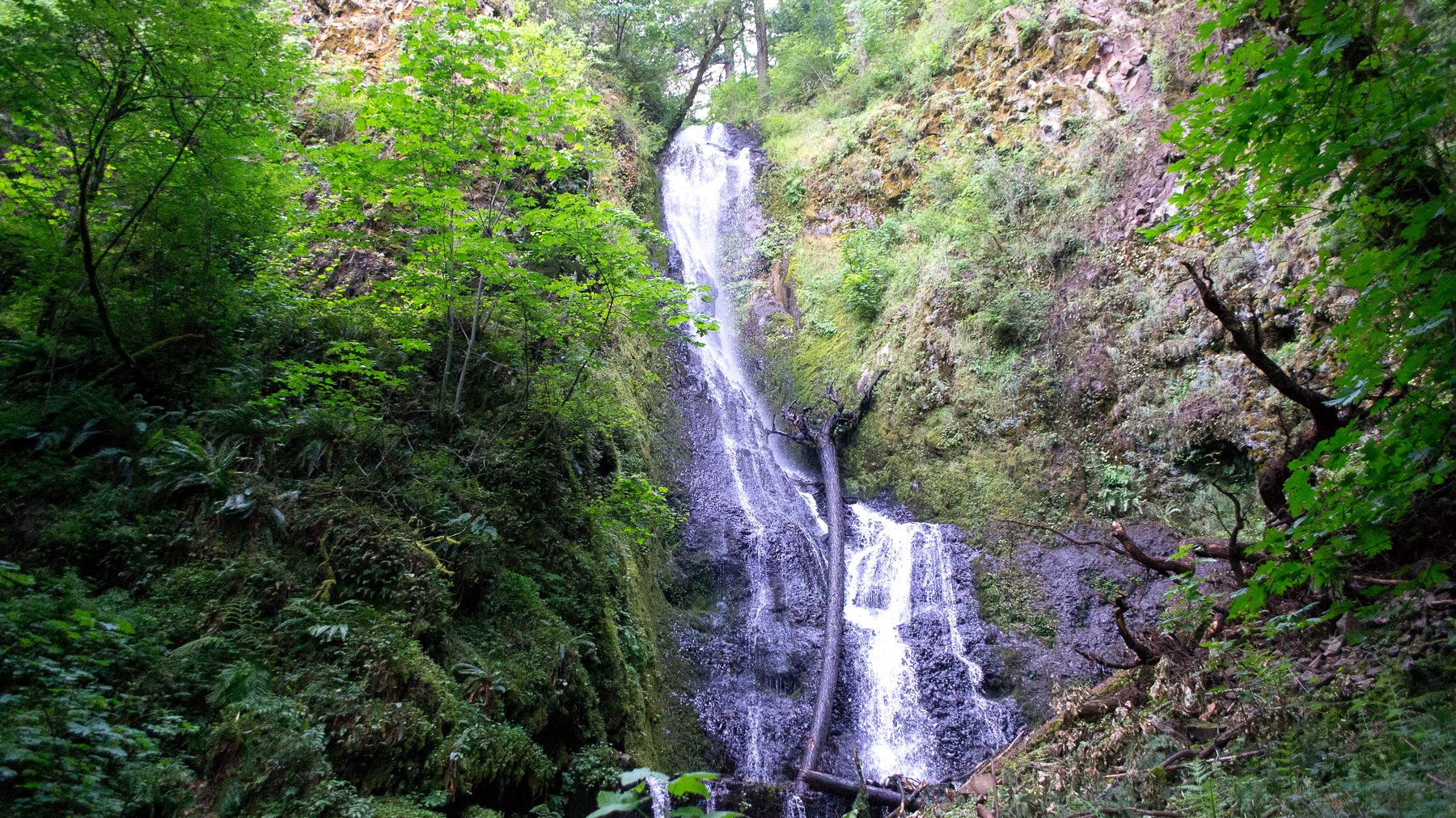
Coopey Falls adds a waterfall stop near the beginning of the climb, although the Gorge viewpoint remains the hike's main destination. Photo: Visitor7 – CC BY-SA 3.0
Higher on the mountain, the forest opens and the Gorge comes into view. The bluff is broad in places, but its edges are exposed, and the wind can be much stronger than it was at the trailhead. Save some energy and focus for the descent, when loose rock and tired legs can make footing more difficult.
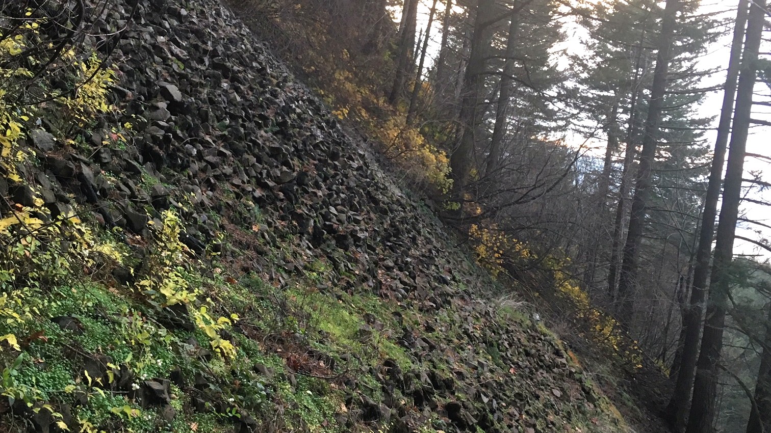
The climb alternates between forest, rocky tread, and more open sections as it approaches the bluff. Photo: USDA Forest Service Pacific Northwest Region – Public domain (U.S. federal government work)
Parking and arrival
The trailhead parking area is small and fills quickly. Oregon State Parks lists a day-use parking permit on the current trailhead page; confirm the price and payment method before you go. If the lot is full, continue to a legal alternative rather than waiting in the roadway or parking beyond marked spaces.
Wind, heat, and winter footing
Spring can bring mud, rain, flowers, and busy parking. Summer adds heat and limited shade near the viewpoint. Fall often offers cooler temperatures but shorter daylight. In winter, shaded sections may hold ice even when the highway is clear.
Check the Gorge forecast and alerts before leaving. Carry water, food, a shell, insulation, and an offline map. Traction can help on icy sections, but no piece of equipment makes a closed trail or dangerously windy bluff safe.
Who may prefer another trail
Families should think about how children handle exposed edges and a sustained climb, not just the mileage. Dog owners should also consider crowds, heat, and the open viewpoint in addition to current leash rules. Wahclella Falls involves less climbing, while Cape Horn offers a Washington-side viewpoint with its own seasonal restrictions.
Frequently asked questions
How hard is Angel's Rest? Most route guides estimate about 4.8 miles round trip and roughly 1,500 feet of gain. The exposed bluff and rocky descent add difficulty beyond the numbers.
Do I need a parking permit? The current Oregon State Parks page lists a day-use parking permit. Check that page for the current price and accepted payment method.
Can I continue to Devil's Rest? Trail connections exist, but treat the extension as a separate hike. Check the current distance, closures, daylight, and water needs before adding it to your route.
More hiking guides
Sources and update notes
This guide is based on the public-agency pages linked below. We last checked access rules, fees, permits, fire restrictions, and closures on August 26, 2026. Check the relevant pages again before your trip. Mileage may vary with reroutes, side trips, turnaround points, and GPS methods. This is an independently researched guide, not a report from a recent hike.